

Brimbank & Melton LGA Information
Boundaries
District Maps/Demographics
Data Demographics


Click below to view various Data Demographic information:
Data-Industry
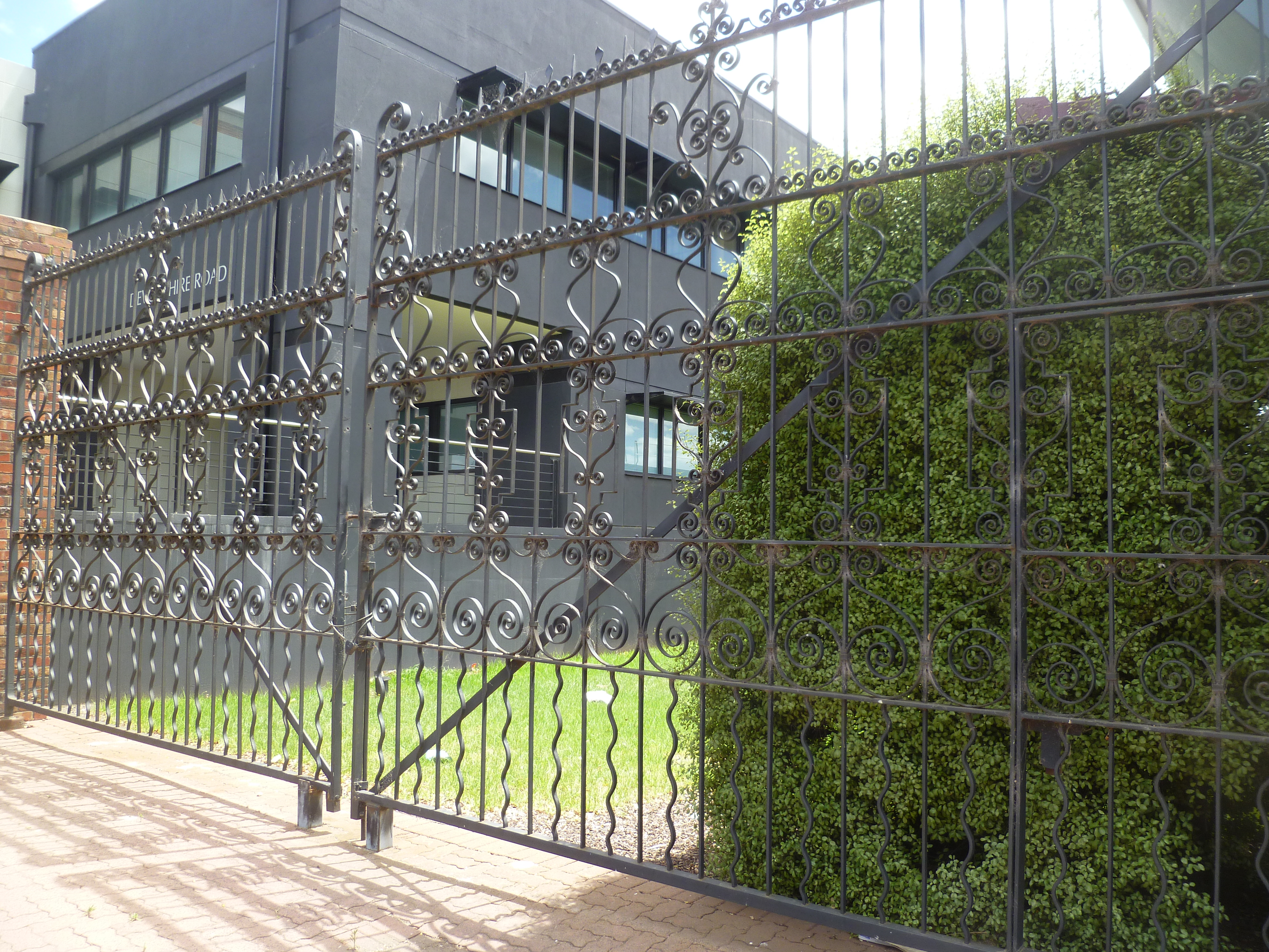
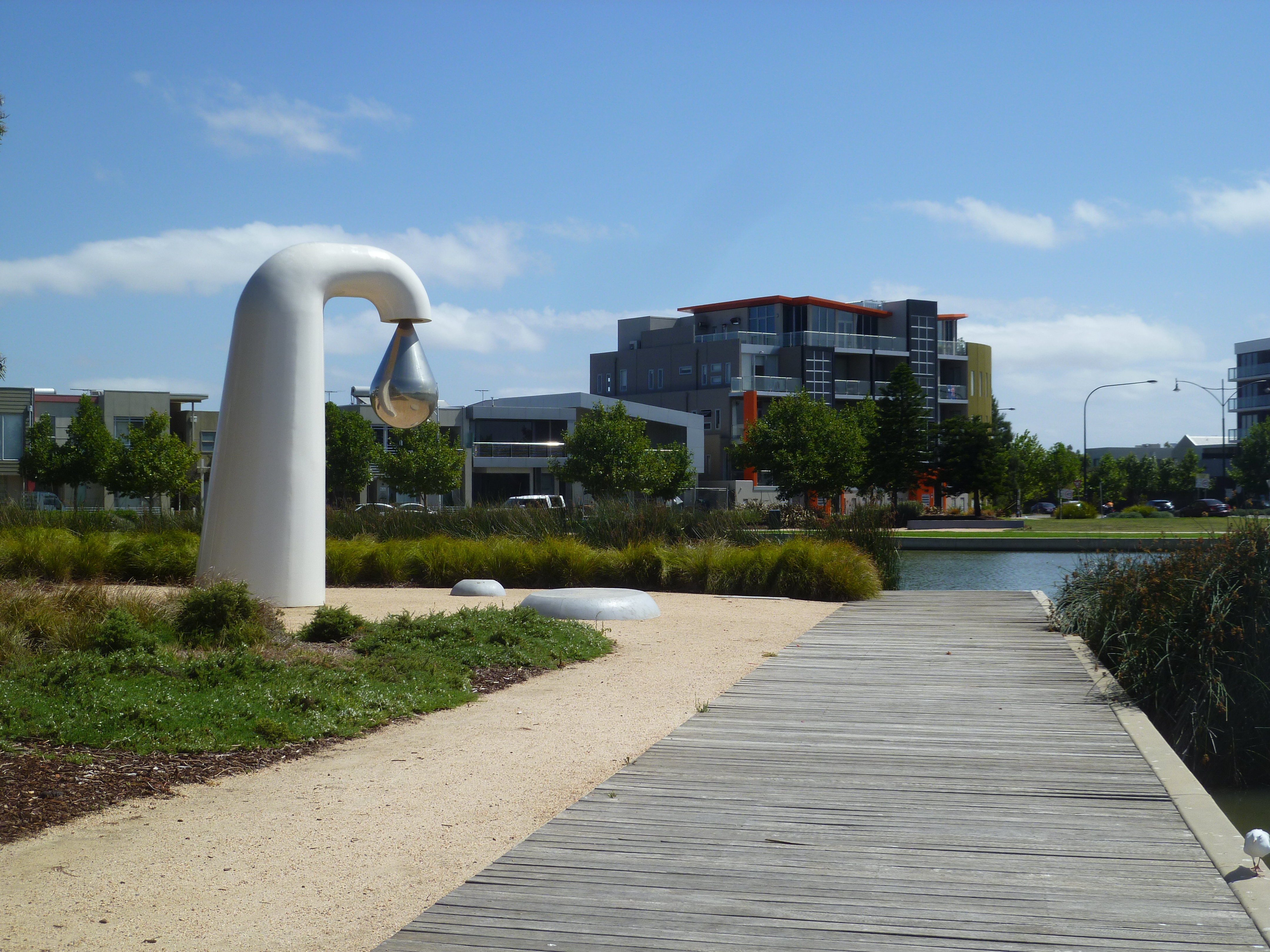
Visions of Brimbank


Area: 123 square kilometres
Location and boundaries
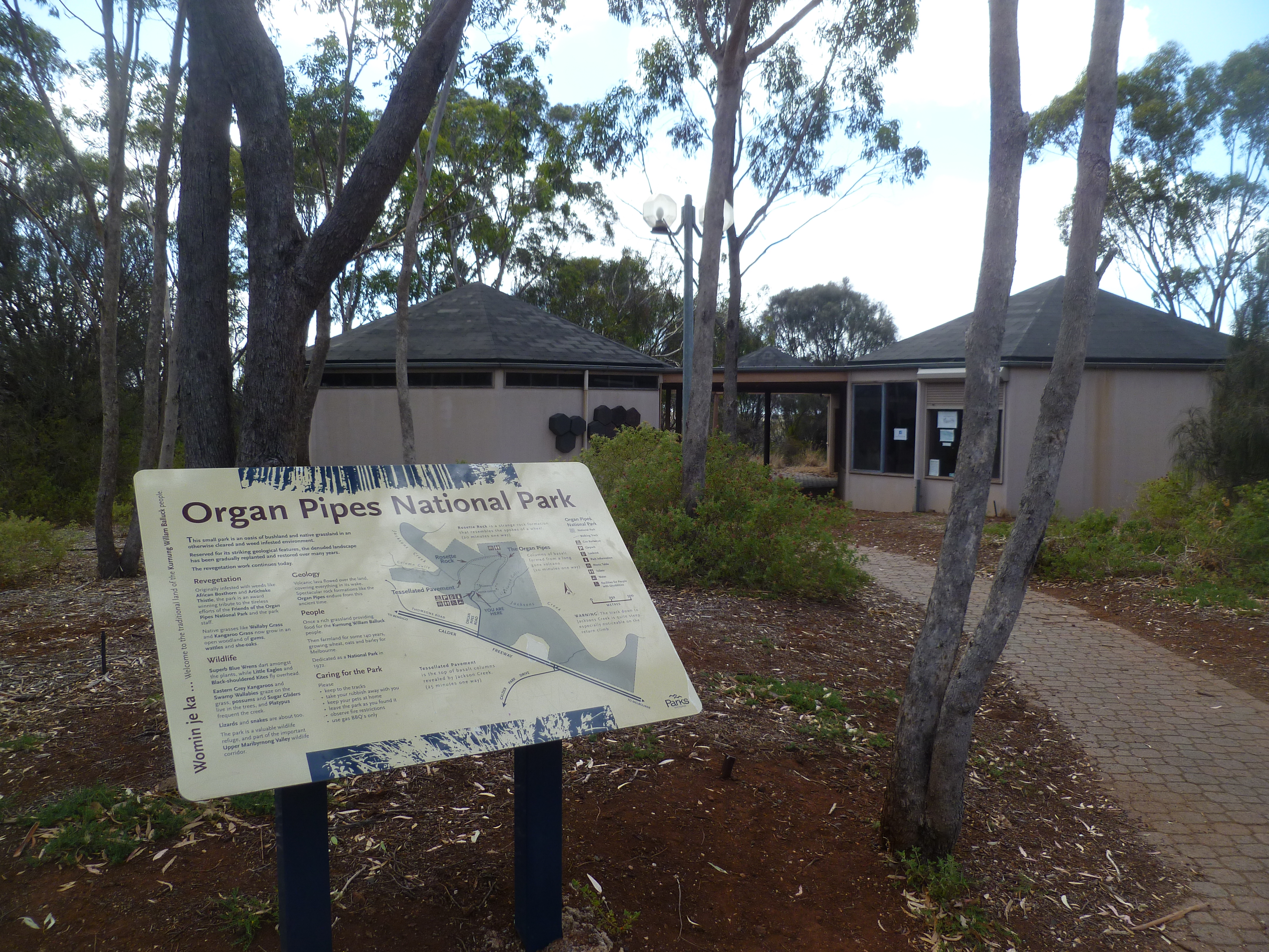
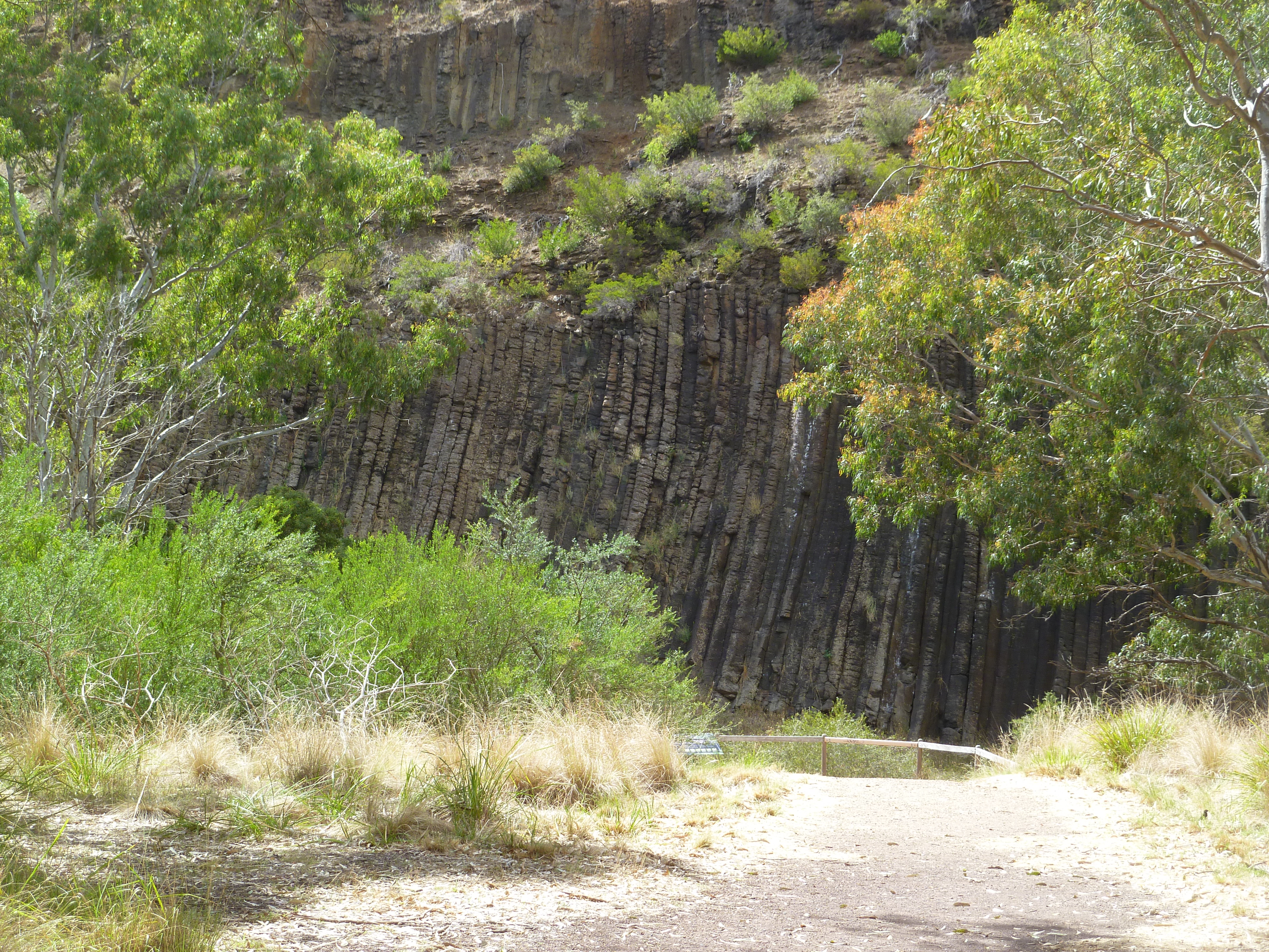
The City of Brimbank is located in the western and north-western suburbs of Melbourne, between 11 and 23 kilometres west and north-west of the Melbourne GPO.
The City of Brimbank is bounded by the City of Hume in the north, the cities of Maribyrnong and Moonee Valley in the east, the Cities of Hobsons Bay and Wyndham in the south, and the City of Melton in the west. The city's boundaries are Thompsons Road, Column Gully, Jacksons Creek, the Maribyrnong River, Keilor Park Drive and Sharps Road in the north, the standard gauge railway, the Maribyrnong River, Duke Street, Stony Creek and the Melbourne-Bendigo railway line in the east, Geelong Road, Kororoit Creek and Boundary Road in the south, and Robinsons Road, Kororoit Creek, the western boundary of Kings Park, Delahey and Sydenham and the Melbourne-Bendigo railway in the west.
Included areas
The City of Brimbank includes the suburbs of Albanvale, Albion, Ardeer, Brooklyn (part), Cairnlea, Calder Park, Deer Park, Delahey, Derrimut, Hillside (part), Kealba, Keilor (part), Keilor Downs, Keilor East (part), Keilor Lodge, Keilor North, Keilor Park, Kings Park, St Albans, Sunshine, Sunshine North, Sunshine West, Sydenham, Taylors Lakes and Tullamarine (part).
Name origin
Brimbank is named after Brimbank Park in Keilor, which was opened in 1976. The park, which was formerly parkland, derived its name from the practice of the locals driving their stock 'around the brim of the bank' of the Maribyrnong River.
Indigenous background
The original inhabitants of the Brimbank area were the Wurundjeri Aboriginal people.
Population
The Community of Brimbank's Estimated Resident Population for 2014 is 197,701 with a population density of 16.03 persons per hectare.
FOR MORE INFORMATION ABOUT BRIMBANK'S COMMUNITY PROFILE - VISIT: PROFILE.ID.COM.AU/BRIMBANK
Map of Brimbank district

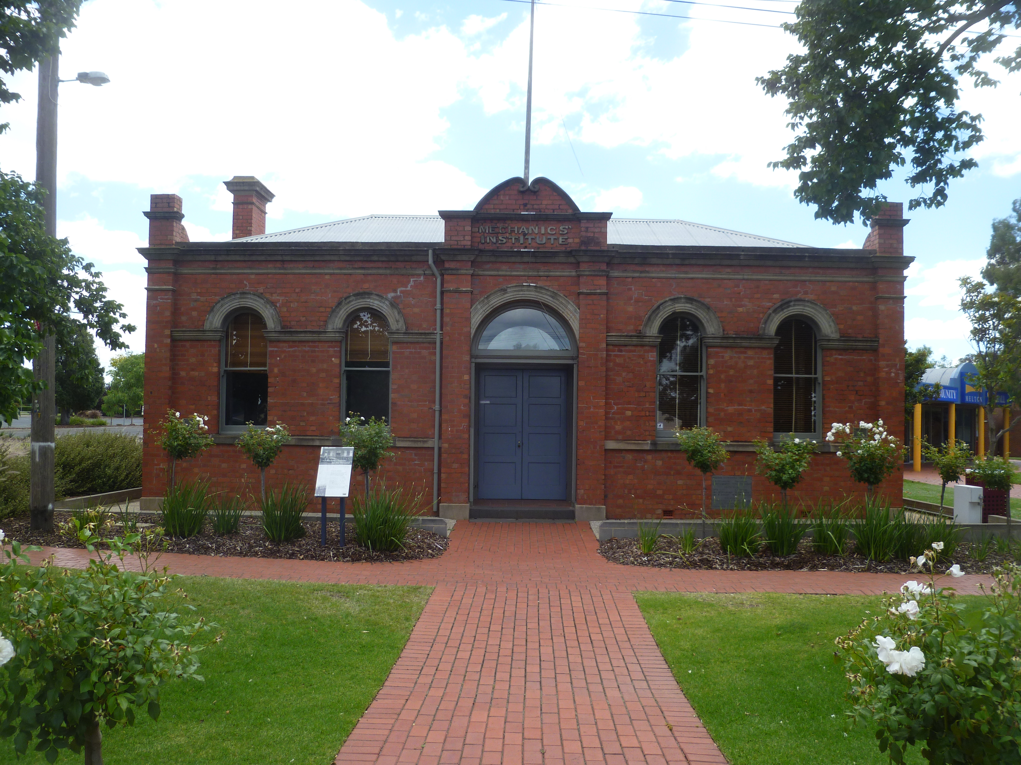
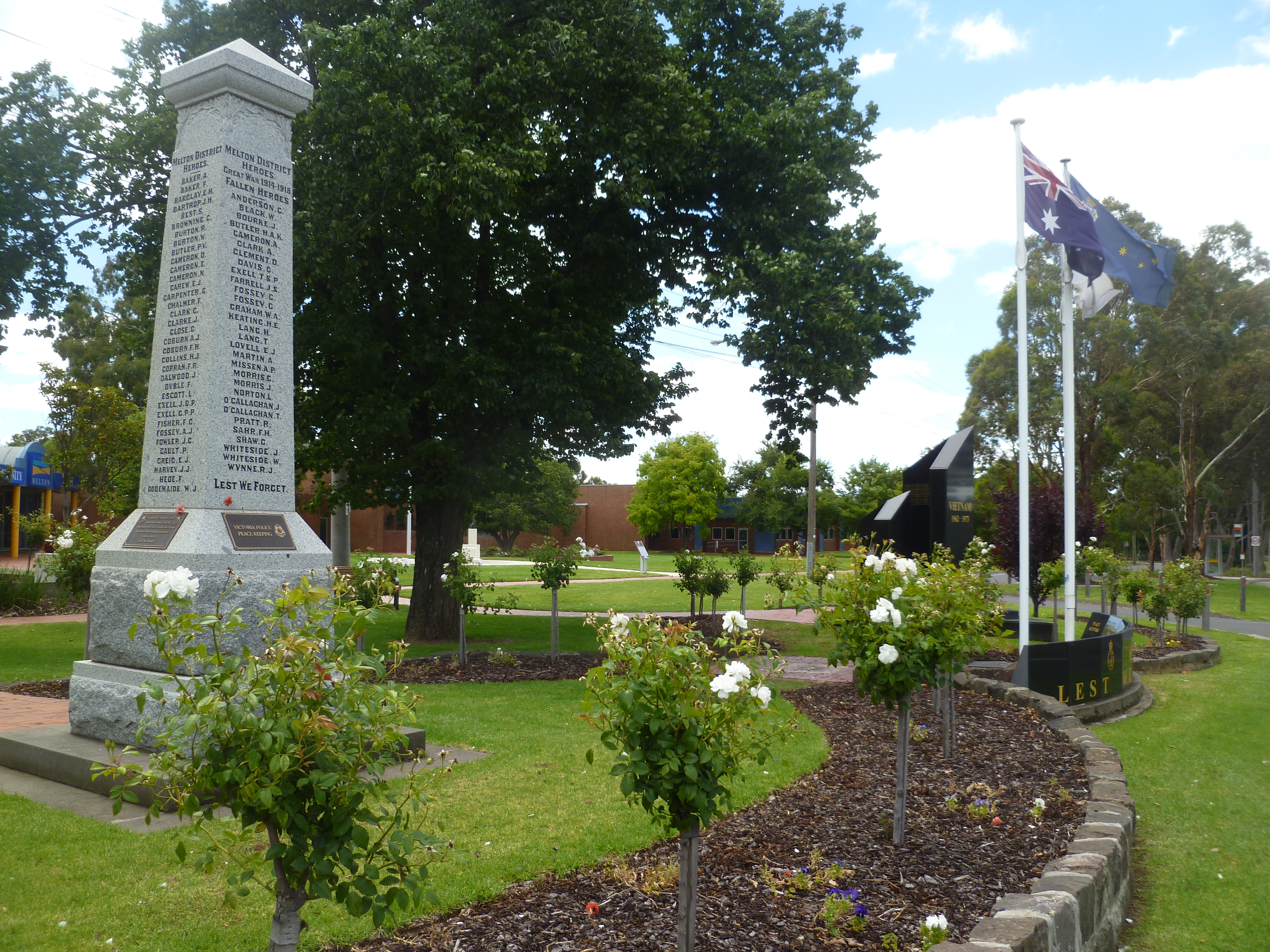
Visions of Melton


Area: 527 square kilometres
Location and boundaries
The City of Melton is located in the outer western fringe of Melbourne, about 40 kilometres west of the Melbourne GPO.
The City of Melton is bounded by Macedon Ranges Shire in the north, Hume City and the City of Brimbank in the east, the City of Wyndham in the south, and Moorabool Shire in the west.
Included areas
The City of Melton includes the suburbs and localities of Brookfield, Burnside, Burnside Heights, Caroline Springs, Diggers Rest (part), Exford, Eynesbury (part), Hillside (part), Kurunjang, Melton, Melton South, Melton West, Mount Cottrell (part), Parwan (part), Plumpton, Ravenhall, Rockbank, Taylors Hill, Toolern Vale and Truganina (part).
Name origin
Melton is named after Melton Mowbray, an English town renowed for its fox hunting and coursing.
Indigenous background
The original inhabitants of the Melton area were the Wurundjeri Aboriginal people.
Population
The City of Melton's Estimated Resident Population for 2014 is 127,677 with a population density of 2.42 persons per hectare.
FOR MORE INFORMATION ABOUT MELTON'S COMMUNITY PROFILE - VISIT: PROFILE.ID.COM.AU/MELTON/HOME
Map of Melton District
